Services
Our Services
What we do?
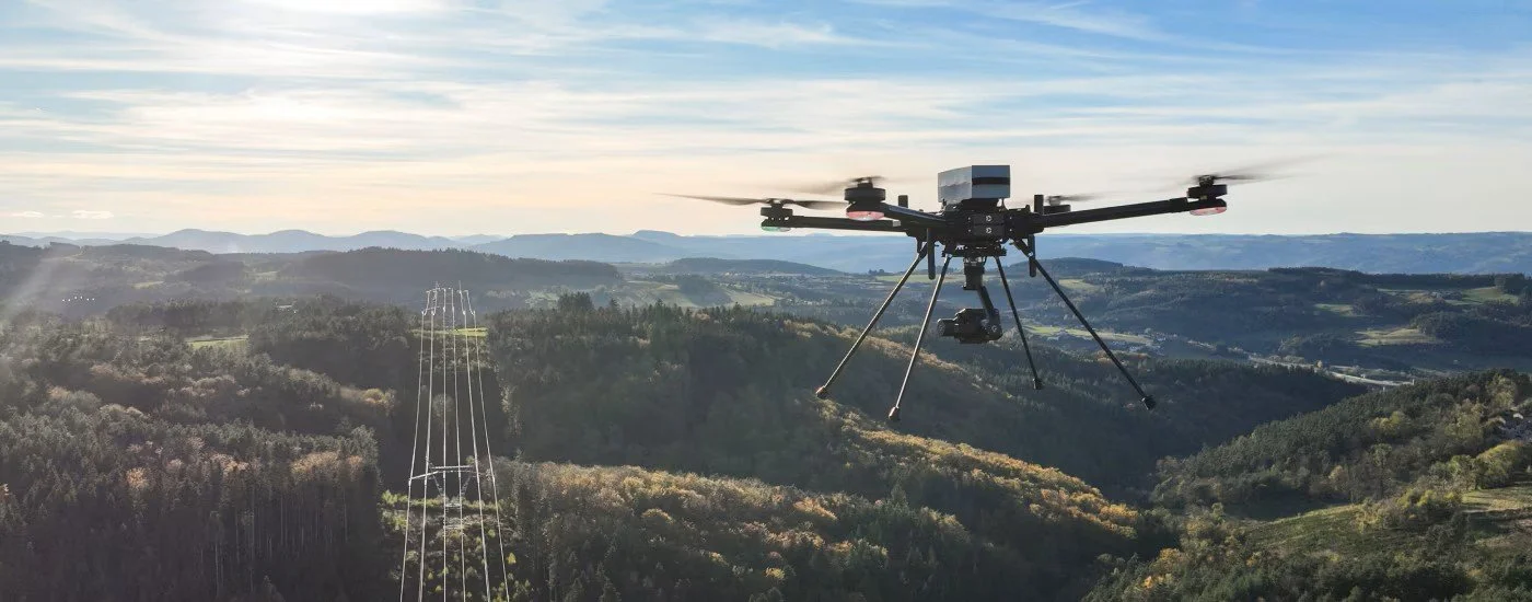
Information is only as valuable as the action it enables. Mark I Technical Services, LLC bridges the gap between complex aerial data and everyday commercial needs. Operating with the discipline forged over decades of high-level program management, we specialize in delivering precise, critical insights for property managers, developers, and commercial clients. See how our intelligence-first approach can elevate your operations below. Our Core Services: Actionable Intelligence from the Skies
At Mark I Technical Services, LLC, we do not just capture aerial imagery; we gather, process, and deliver precise data to help you make informed decisions. Operating under FAA Part 107 regulations, our mission-driven approach ensures safety, accuracy, and efficiency across all our service lines.

-

1. Geospatial Intelligence Collection & Mapping
Geospatial Intelligence is the discipline of analyzing imagery and geographic data to understand a specific environment. We bring this high-level capability to the commercial sector, turning raw visual data into a strategic asset.
Precision Mapping & 3D Modeling: Creating highly accurate, interactive maps and models for construction, agriculture, and land development.
Topographical Analysis: Assessing terrain, elevation, and environmental changes over time to support engineering and planning projects.
Data-Driven Insights: Delivering layered, comprehensive geospatial reports that give you a complete operational picture of your project area. -

2. Aerial Surveillance & Property Inspections
Evaluating infrastructure, roofs, & large properties traditionally involved significant time, scaffolding, & safety risks. Our aerial surveillance solutions eliminate those hazards while providing superior detail.
Commercial & Residential Inspections: Safely identifying structural wear, roof damage, & gutter issues without putting personnel at elevation.
Real Estate & Property Management: Capturing high-resolution, comprehensive overviews of large estates, commercial complexes, & undeveloped land.
Routine Maintenance Monitoring: Establishing a documented visual history of your assets over time to proactively manage repairs & reduce liability. -

3. Systems Integration & Technical Consulting
For organizations looking to build or enhance their own technological capabilities, we offer expert consulting to bridge the gap between complex hardware and everyday operations.
Workflow Integration: Helping your business seamlessly incorporate aerial data, GEOINT, and surveillance feeds into your existing software and management systems.
Custom Solutions: Assessing your specific mission requirements—whether for security, agriculture, or logistics—and recommending the right combination of sensors and platforms.
Operational Readiness: Drawing on decades of program management experience to ensure your technical systems are reliable, secure, and fully optimized for your needs.
Why Choose Us


Precision. Professionalism. Perspective.
Mark I Technical Services delivers technically disciplined drone solutions with a focus on accuracy, reliability, and presentation quality. We don’t just capture images—we provide visual clarity that helps professionals make better decisions faster.