About

About Us
Built on Precision & Driven by Results.
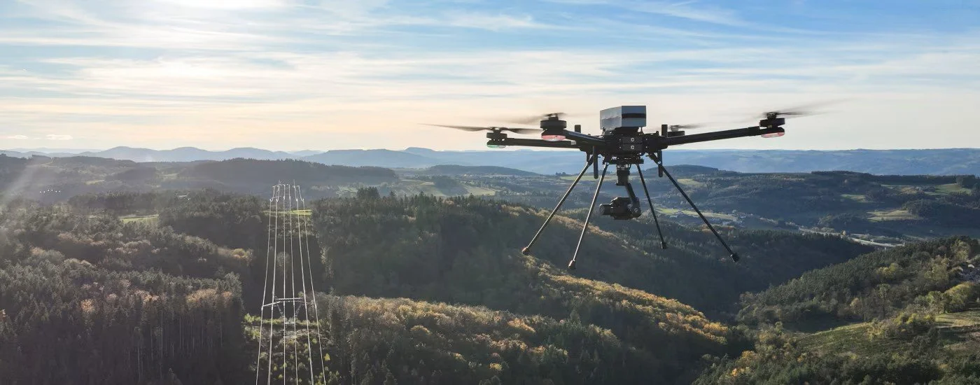
A Foundation Built on 25 Years of Intelligence and Precision! At Mark I Technical Services, LLC, our operations are driven by a level of discipline and precision forged over decades of high-stakes federal service. Founded by Mark Hoppmann, a retired Senior Master Sergeant from the Aerospace Control and Warning Systems career field, our company brings a military-grade, mission-first mindset to the commercial sector. With 25 years of federal service as an Intelligence Officer, Technical Executive and Program Manager, Mark has built a career on gathering, analyzing, and execution based on critical data.
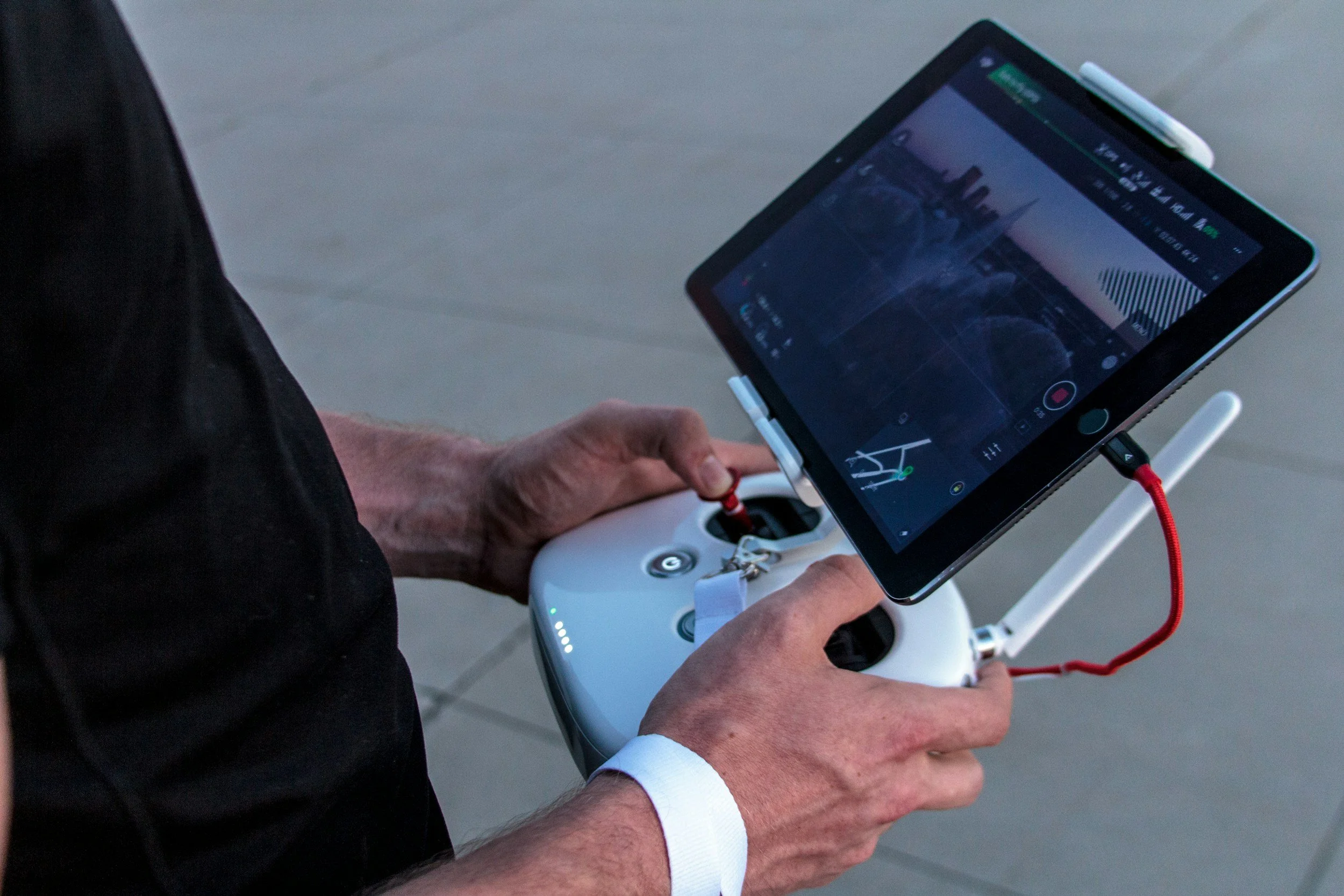
Today, as a certified Part 107 licensed remote pilot, Mark applies that same rigorous standard to aerial surveillance, GEOINT collection, and systems integration. We don't just capture images; we leverage deep intelligence expertise to provide property managers, real estate professionals, and commercial clients with actionable, highly accurate data they can trust. When you work with Mark I Technical Services, you are partnering with decades of proven leadership and operational excellence.


Our Team

Mark Hoppmann
FounderMark Hoppmann is the founder of Mark I Technical Services, LLC and a retired Senior Master Sergeant with decades of experience in military and government service. His professional background includes geospatial intelligence, imagery analysis, full motion video, and Aerospace Control and Warning Systems, providing a strong foundation of operational discipline, technical expertise, and mission-focused leadership.
Today, through Mark I Technical Services, Mark delivers professional drone services, visual documentation, and GEOINT-informed technical support to commercial clients. He is committed to providing clear, reliable, and high-value results that help clients improve visibility, strengthen decision-making, and showcase their assets with professionalism and impact.