
See Properties From a Smarter Perspective
Professional drone imaging, inspections, and visual intelligence services designed for real estate professionals and commercial decision-makers.
Licensed & Insured
FAA Certified Drone Operator
Serving Local Real Estate & Commercial Clients

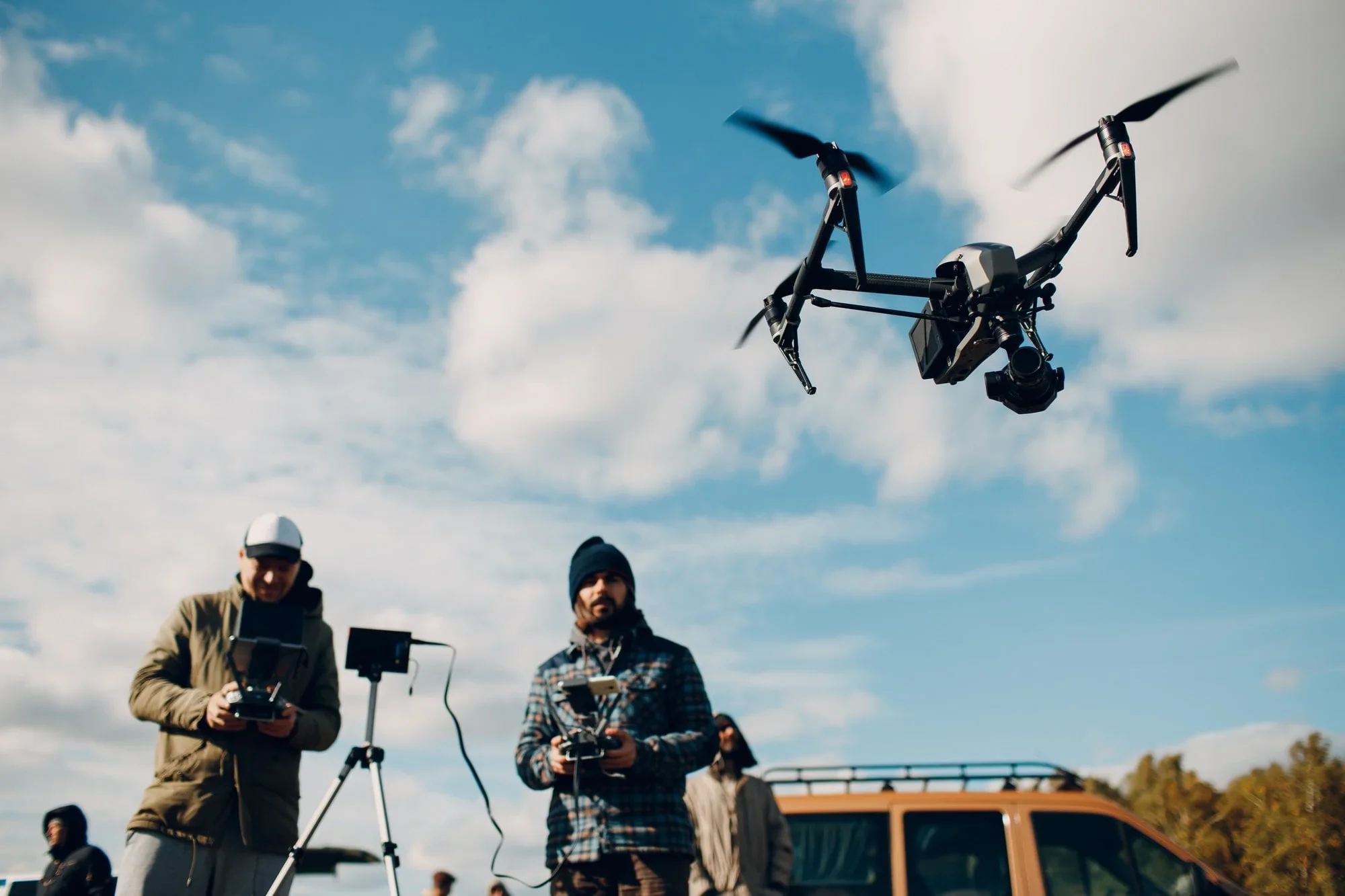
Our Services
-
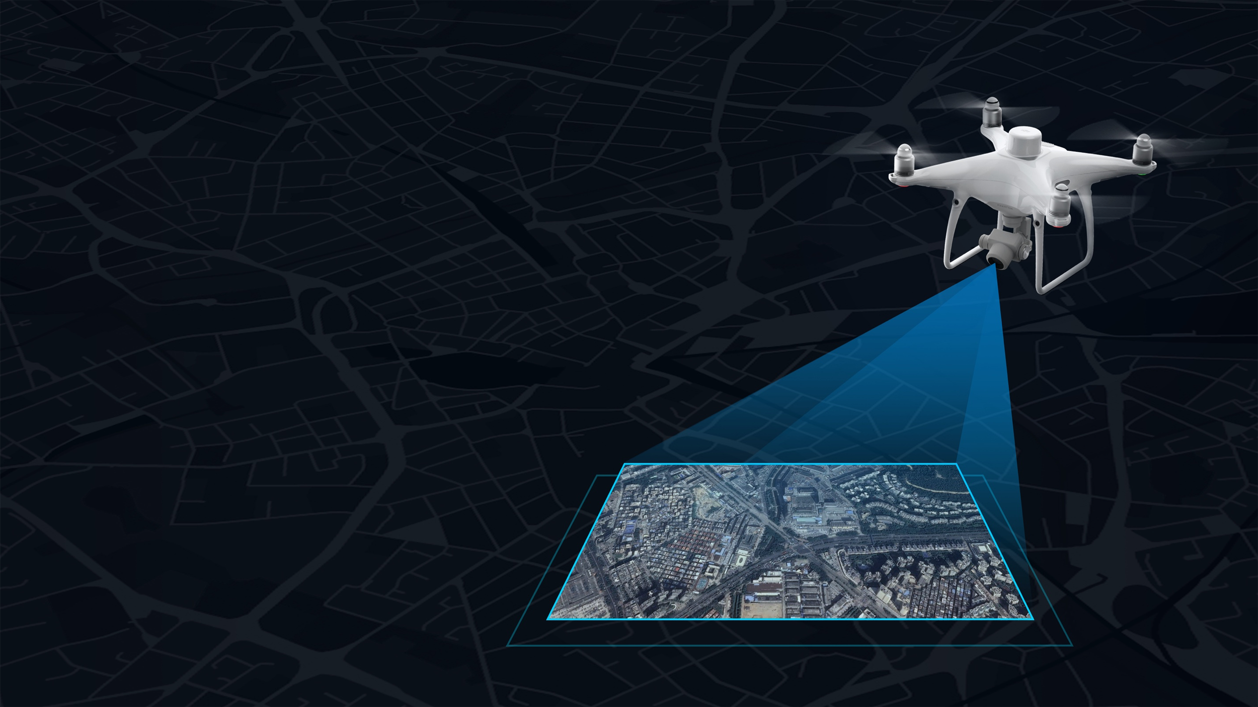
1. Geospatial Intelligence Collection & Mapping
Geospatial Intelligence is the discipline of analyzing imagery and geographic data to understand a specific environment. We bring this high-level capability to the commercial sector, turning raw visual data into a strategic asset.
-
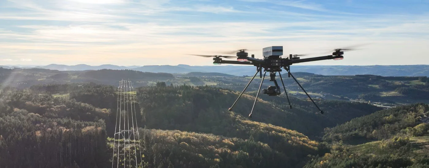
2. Aerial Surveillance & Property Inspections
Evaluating infrastructure, roofs, & large properties traditionally involved significant time, scaffolding, & safety risks. Our aerial surveillance solutions eliminate those hazards while providing superior detail.
-

3. Systems Integration & Technical Consulting
For organizations looking to build or enhance their own technological capabilities, we offer expert consulting to bridge the gap between complex hardware and everyday operations.


About Us
Built on Precision & Driven by Results.
A Foundation Built on 25 Years of Intelligence and Precision! At Mark I Technical Services, LLC, our operations are driven by a level of discipline and precision forged over decades of high-stakes federal service. Founded by Mark Hoppmann, a retired Senior Master Sergeant from the Aerospace Control and Warning Systems career field, our company brings a military-grade, mission-first mindset to the commercial sector. With 25 years of federal service as an Intelligence Officer, Technical Executive and Program Manager, Mark has built a career on gathering, analyzing, and execution based on critical data.
Why Choose Us


Precision. Professionalism. Perspective.
Mark I Technical Services delivers technically disciplined drone solutions with a focus on accuracy, reliability, and presentation quality. We don’t just capture images—we provide visual clarity that helps professionals make better decisions faster.


Industries We Served
-
Stand out with premium listing visuals that attract buyers faster.
-
Get safer, faster access to hard-to-reach areas with reliable aerial data.
-
Track progress and document projects with precision.
-
High-quality visuals for marketing, planning, and reporting.


News/Blog